BullsTrek Wahniangleng
.jpeg)
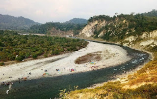
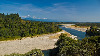
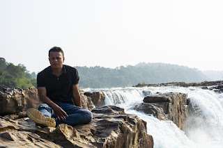
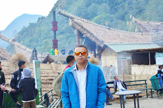
BullsTrek Wahniangleng is a Peaceful location with scenic beauty, it is the nearest and cleanest trekking route from shillong, the trek is 1.85kms from parking, it’s a bit rugged so its advice to wear a proper trekking shoes, Its Plastic free area Eco Tourism and well maintained, it has camping sites Kayak and fishing etc. Locals from shillong used to do weekly trek to this place as its near scenic clean and burn calories. it’s maintained by locals’ green warriors from the village itself and the fees collected goes to salary of care takers and school fees book fees of the poorest children of this village. Pls don’t bring plastic bags etc.and pls buy from Local people to help them also they are mostly poor and uneducated villagers. Getting There: The 25 Km journey to Wahniangleng begins in Shillong. Follow the route to Elephant Falls, and from there, take the road to Sohra (Cherrapunji). Look out for Mawjrong, a village located just 2 kilometres before Mawkd...


.jpeg)
.jpeg)

.jpeg)
.jpeg)

.jpeg)
.jpeg)
.jpeg)
.jpeg)
